More canals (14th August 2016)

I awoke in my bivi in a small woodland by the Union Canal. This would be my third day of canal walking, now just a few miles from Edinburgh and the East Coast of Scotland.

Sunday 14th August 2016

Packed up fairly early and got walking. Stopped at Muivavonside country park for breakfast (from Tesco the night before). Over the Avon Aqueduct and into Linlithgow before midday. Lunch by the castle/palace.

Linlithgow is a nice sunny Royal Burgh (Scottish town) which was once one of the principal residences of the Scottish monarchy. I was particularly impressed by their public toilet facilities which featured a 50p shower for tramps like me!
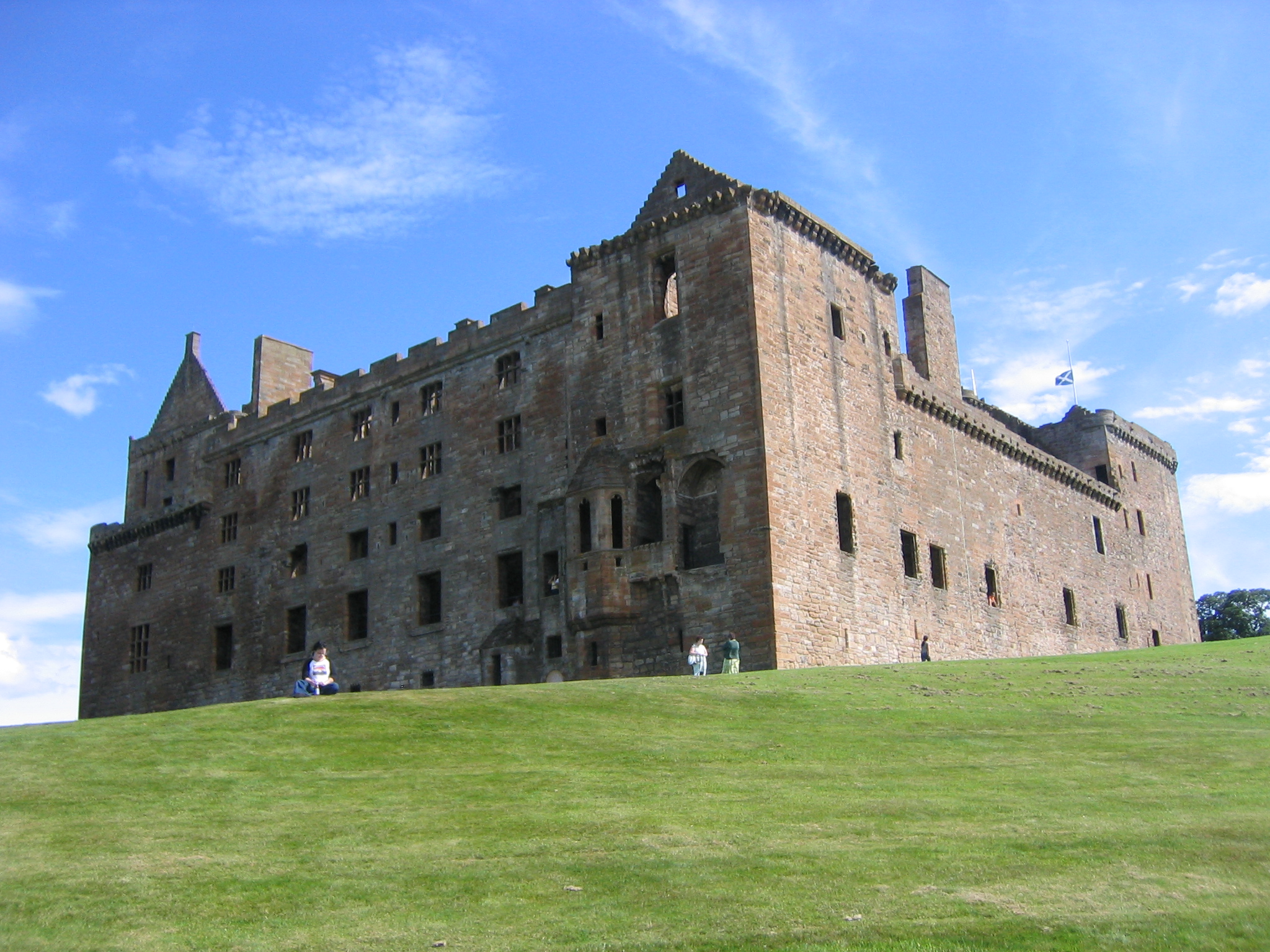
Image attribution: Alistair McMillan, Am linlithgow palace north west, CC BY-SA 2.0

Continued along canal, was planning to stop at a café in Broxburn but it turned out to a shithole, so I continued on.

Sorry Broxburnians, but the top search result on Google for “Broxburnians” is an alcohol rehab page so I stand by my journal entry. My guidebook actually provided an alternative route for vulnerable walkers. This bypassed Broxburn because the author reckoned it was now more dangerous than the old “Thieves Road” I would be walking on the next day.

Over and under another aqueduct and through a nice country park to Mid-Calder to “a country pub” that was more like a night club. Went into Calderwood to bivi it up.

Distance: 21.4 miles [view on map]

Spending: £13

Family (13th August 2016)

A day of canal walking with my family to keep me company…

Saturday 13th August 2016

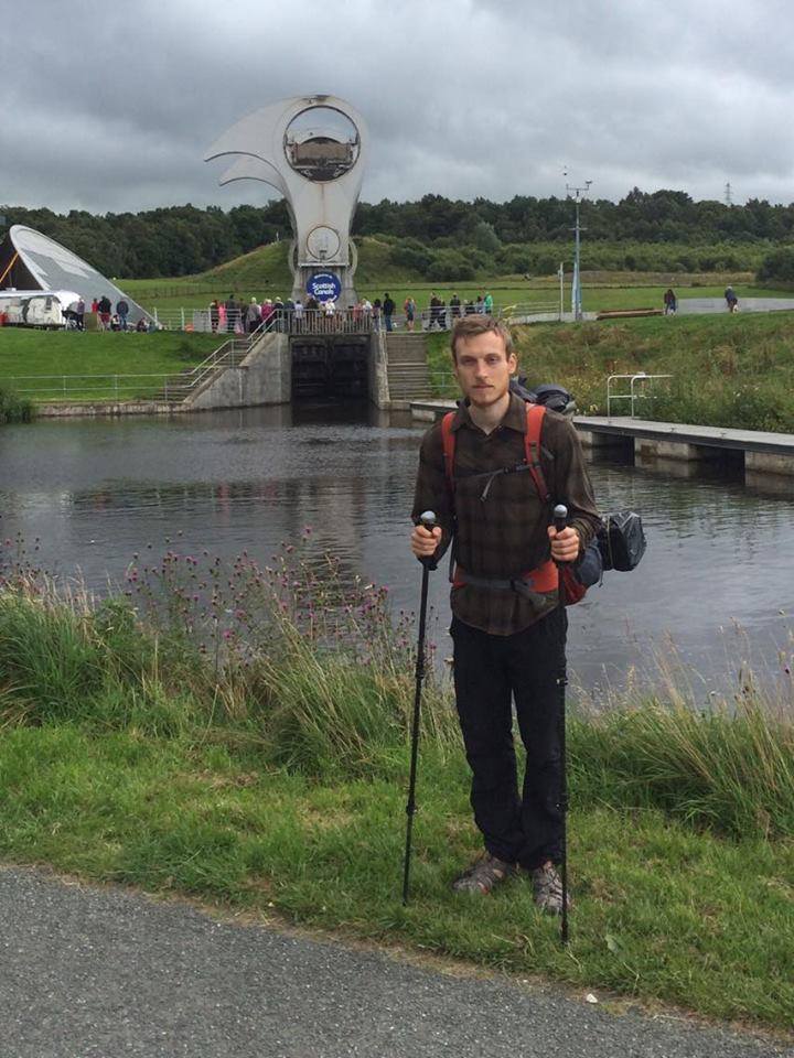
Had continental breakfast, and a nice chat with B&B owners in sunshine, then caught taxi down to canal, to continue where I left off, and to meet parents and sister! Since it was raining, we started with coffee at Boathouse cafe. Although it was an easy day, I found it hard due to exhaustion from previous day. We saw Falkirk Wheel where family left me, then I continued on and found a spot to stay in bivi by canal.

Distance: 17.8 miles [view on map]

Spending: £14

At Falkirk Wheel

This was significant point on my journey because I was able to exchange equipment with my family, making my pack lighter.

Instead of a tarp and bug net, I now had a bivi bag. The tarp and bug net tent weighed around 1KG, the bivi was half that at only 500g. Just as importantly, it was easier to set up. The downside is that it gets wet due to condensation and needs drying out fairly regularly, so it is not sustainable to stay in it every night. But I knew that going south it would be easy to find accommodation in most places so I would not have to camp many nights in a row.

Instead of walking boots (with sandals as a change of footwear), I would now always be wearing walking sandals. The boots were necessary on rough terrain in the north of Scotland, but now I would be following many well-maintained long distance trails so wearing only the sandals was feasible. It saved me from carrying the 1.5KG pair of boots. It was also better for my feet, because sandals dry out quickly after getting wet, whereas boots stay wet.

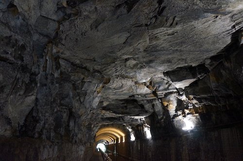
Falkirk Tunnel, Union Canal

Leaving the West Highland Way (12th August 2016)

Friday 12th August 2016

Packed up tent late, as was put off by rain, perhaps also knew this would be last time before I switched to bivy! I had some catching up to do – once I realised how late I was (around Strathblane) I started running – when I could, 60 seconds on, 30 seconds off (walking) was fairly sustainable – but tough! When I got to central Kilsyth I bought reduced food from supermarket and caught taxi to B&B.

This almost felt like cheating, but necessary because the B&B was miles off-route. I caught a taxi back to the same spot the next morning to continue my walk!

B&B was nice – I was completely broken, could barely climb stairs.

Distance: 24.3 miles [view on map]

Spending: £47

Leaving the Highlands (11th August 2016)

Thursday 11th August 2016

Started with cooked veggie breakfast – the bunkhouse managed to extract £50 from me in total! Walked down by Loch Lomond and past the start of Ben Lomond trail. Arrived at Balmaha late afternoon and stopped for tea, cake, and bought supplies from shop.

Walked over Conic Hill which was rather atmospheric with highland cattle appearing through the cloud. Walked through forestry area which my guidebook reckoned was an “official” wild camping area. I found no signs of this but plenty of pitches and in the end found pitch by round, for easy access to pub in Drymen!

I met a friend who drove up from Glasgow for dinner, and luckily he drove me back to my tent saving me a couple of extra miles!

Distance: 22.9 miles [view on map]

Spending: £38

To a bunkhouse (10th August 2016)

Continuing my walk along the West Highland Way, beside Loch Lomond, one of the only places in Scotland where wild camping is not allowed due to the large number of visitors.

Wednesday 10th August 2016

Not a huge amount of walking today. Stopped after a mile for a coffee at Beiglas Farm. Stopped again in bothy for snacks and a chat.

I wouldn’t dream of staying in a bothy on the West Highland Way – far too many people popping in!

The path got more difficult, with scrambling required, so this section took longer than expected. When I arrived at Inversnaid I had a walk up the hill on road – this felt like the hardest bit of the day.

At the hostel, stayed in a room with two girls from London (whose names I only picked up after four repeats – have to get better at that). Had an OK curry, a good cranachan, and an excellent beer (Wildcat).

Distance: 8.7 miles [view on map]

Spending: £47

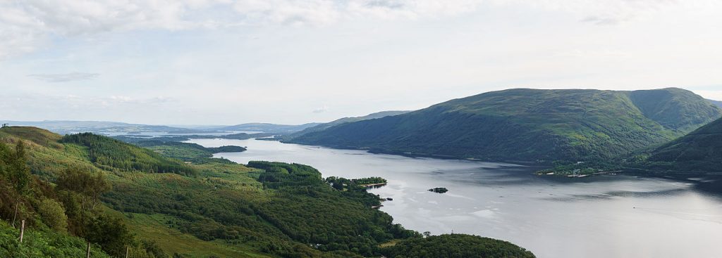
I was walking by Loch Lomond, Scotland’s largest loch. Image attribution: © User:Colin, Loch Lomond from Ptarmigan Ridge, Ben Lomond, CC BY-SA 4.0

Sunshine, rainbows, and service stations (9th August 2016)

Tuesday 9th August 2016

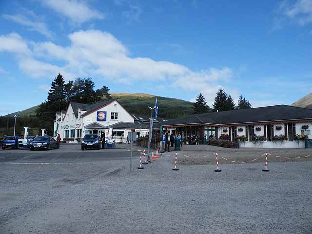
Packed up dry and started an easy walk into Tyndrum, where I stopped for coffee. It’s a gloriously depressing place – my guidebook describes it as “motorway service station gone astray”! Also stocked up on snacks.

On the next section I started feeling my pack weight and my back was tingling – not in a good way. After a sit down to observe a rainbow, I was feeling good – and continued on in a most lightfooted manner – with Johnny Flynn soundtrack. Met a group walking in the same direction as me – they’d done it  twice!

I meant that they’d walked the West Highland Way the normal way, and liked it so much they were walking back the same way! This was the only group I met walking the same direction as me on the West Highland Way. I met them again two days later in a pub – this was a hint of the kind of community atmosphere one might experience walking it in the normal direction!

Stopped to wild camp in a rather midgey spot.

Distance: 17.5 miles [view on map]

Spending: £12

Tyndrum: “motorway service station gone astray”. Image attribution: Oliver Dixon, Green Welly Stop, Tyndrum, CC BY-SA 2.0

A little less commoditised (8th August 2016)

I started the second day on the West Highland Way near Kinlochleven. I had survived a wet and windy night besides a hill-side track, with rocks on the edges of my tarp to keep it grounded.

Monday 8th August 2016

Packed up in the rain again. Over to Kings House Hotel for lunch and a coffee. Booked a couple of places for later in the week – will wild camp the rest. The sun came out, and views over Ranch Moor – a huge swath of low land surrounded by mountains – were spectacular. I started to dry out.

At Bridge of Orchy, put up my tent by the bridge, ate cous cous and went to pub for a pint. Today felt a bit less commercial – yes I paid for services, but they were accepting of wild camping culture.

A number of tents were pitched by the bridge. Although wild camping is legal in Scotland, typically it wouldn’t be acceptable to camp so close to a village. But they didn’t seem to mind at the pub since this bunch of tents was their main source of custom!

Distance: 19.3 miles [view on map]

Spending: £16

Wet (7th August 2016)

This was my first day on the West Highland Way, the most popular section of my walk.

Sunday 7th August 2016

Barely slept due to strong winds (and rain). Went to Glen Nevis cafe for buffet breakfast and wifi. Packed up in rain and left on the West Highland Way. This was a long (well not relatively) walk in the rain, but at least the path was good.

At Kinlochleven I checked at the hostel, they were full. They had camping pitches but they were on a tiny strip of grass, all lined up.

I found Kinlochleven too commercial. Being offered a tiny spot of grass for £9 was a sharp contrast to my journey so far. Previously I had been free to set up camp almost anywhere.

I went to a bar which didn’t serve tea, had half an IPA, and decided to go wild camp.

By the time I reached Kinlochleven, I was thoroughly drenched. I didn’t particularly want alcohol but was willing to drink anything to escape from the rain!

I found a spot 100m up about a mile on. Since I was at the end of a stage, no-one would wake me.

This needs a little explanation. The West Highland Way is extremely popular in summer, and I had already passed hundreds of walkers on my first day. However, almost everyone walks it going north, and they will tend to split the walk into stages ending somewhere with some facilities (near a village, pub, or campsite). I was stopping a little south of the village but I knew that most people would have stopped in the village, and the early risers would be walking northwards the next morning (so not past me).

Distance: 15.1 miles [view on map]

Spending: £11

Along the whole of the West Highland Way I did not take photos. This must have been in part because the weather was miserable most of the time. Perhaps I was also aware that so many people walk the route that my photos wouldn’t be anything special. If you are only reading for the photos, you can skip the next few days!

Ben Nevis (6th August 2016)

On my walk through the length of Britain, it would be a shame to walk so close to Britain’s highest mountain, Ben Nevis, without visiting the top!

Saturday 6th August 2016

I ambitiously planned to do Ben Nevis and leave to continue my walk. Ben Nevis was completed in 3½ hours – fast enough, but I started late, and still felt exhausted so decided to stay in Glen Nevis one more night.

This was perhaps a more effective rest day – other than claiming Britain’s tallest mountain, I was lazing about on the campsite and didn’t feel the need to go and spend money in Fort “Bill”.

Distance: 7.5 miles [view on map]

Spending: £14

Mood: 🙂

Rest day 1 (5th August 2016)

After almost three weeks walking, I was at Fort William – the first (and hardest) of six sections in my guide book was complete! I took a well deserved rest day.

Friday 5th August 2016

Tent had been put up close to bin and streetlight, so I moved it over. Went to Glen Nevis bar for lunch and afternoon coffee and cake, and used their wifi a lot! Walked into Fort William and had a curry. Fort William is too commercial – it’s just a high street, train station, and supermarkets – the rest is dull as far as I can see. I found service in the Indian [restaurant] to be rushed.

Glen Nevis campsite is a little better, at least the pricing is straightforward and inclusive of showers etc. However, I find it a stark contrast to the north [of Scotland], especially The Crask Inn but also Watten and Lairg.

Distance: 4 miles – walking to Fort William from campsite!

Spending: £64

Mood: 🙂

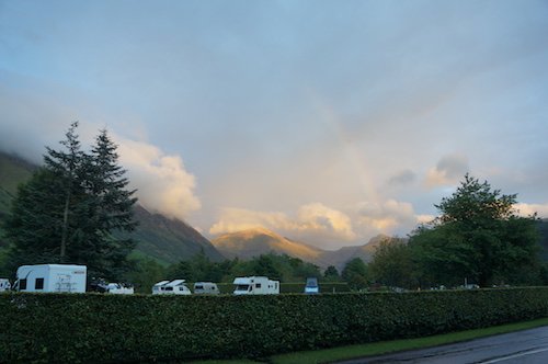
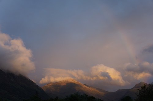
Rainbow over Glen Nevis