To the coast (23rd September 2016)

Friday 23rd September 2016

Walked into Barnstaple, stopped for breakfast at a place with strong coffee and free refills :). Breakfast included a tasty veg omelette.
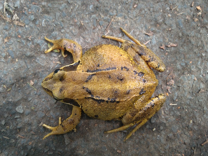
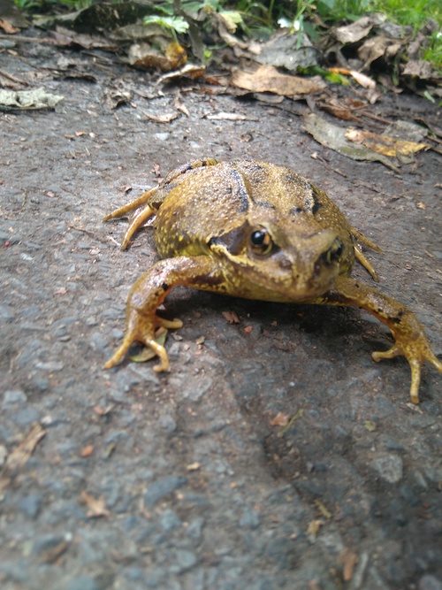
Walking out of Barnstaple I met this beautiful toad


Joined coastal path following estuary of River Taw and then up the River Porridge into Bideford. I tried to cut through a nature reserve but the path was blocked for works, so I instead followed guidebook to Westward Ho!

Met a young local couple at a viewpoint, who gave me advice on a camping spot. When I arrived, that spot was already taken so I camped a little further on.

Distance: 21.8 miles [view on map]

From Westward Ho! almost the entire journey would follow the coast along the South West Coast Path, apart from a few shortcuts.
The Hunt (22nd September 2016)

Thursday 22nd September 2016

Over Exmoor proper, then leaving the national park, found myself in the middle of a fox hunt, so had to dodge hounds, posh blokes on horses, and quad bikers, then afterwards navigate through what seemed like a 4×4 festival, as the hunters drove home from Chalkcombe.

Whether they were hunting real foxes or it was a legal hunt following a scent, I don’t know.

Snacks from Bratton Fleming shop for dinner, then camped in wood a little after. The woods were on a steep hill, so I slept on one of the more level forestry roads.

Distance: 20.9 miles [view on map]

Hostel to hostel (21st September 2016)

Wednesday 21st September 2016

Relaxed walk through Exmoor and over Dunkery Beacon. The sky was a little dark and it was hot, I was weary of lightning but luckily it was fine. Down into Exford for early check-in. Read a little, then pub in the evening (only way to get online, with their wifi). It was rather busy due to carvery night, but I found a seat.

Distance: 11.2 miles [view on map]

This wasn’t a terribly exciting part of the journey, but the landscape was nice enough, as I was in the Exmoor National Park. My walk would get more exciting soon enough…

Into Exmoor (20th September 2016)

After a noisy night with cows mooing on the other side of a fence, then being woken up by a forestry vehicle, I continued through the Quantock Hills, then into the Exmoor National Park later in the day.

Tuesday 20th September 2016

Continued through Great Wood, then along ridge of Quantock Hills. Stoped at Bicknoller shop, friendly people but a disappointing selection.

Walked onto next village, Monksilver, and stopped for lunch – a posh place where the waiter wore a waistcoat, which apparently I was paying for, the bathroom didn’t even have toilet paper. Mushroom risotto was quite tasty but generally this place is a rip off, a standard village pub would be preferable.

Over to Roadwater, nice place but didn’t stop. Then to Dunster and the YHA.

Distance: 21.6 miles [view on map]

Walking in the dark (19th September 2016)

Just another day walking in Somerset…

Monday 19th September 2016

Continued on Levels through muddy farmland, finally reaching Bridgwater where I had lunch and escaped rain in a pub.

The rain was not stopping, so I stayed for the whole afternoon. I would have stopped in Bridgwater if there had been a hostel.

Left to walk on in the evening, fairly flat at first then into the Quantocks. It was getting dark so I walked mostly on road, then a track. Slept on edge of Great Wood, just over fence from cattle, who started calling out at about 3am. Then woken at 7am by forestry vehicle!

Distance: 25.9 miles [view on map]

Cheddar (18th September 2016)

Sunday 18th September 2016

Started with a walk up Beacon Batch, then down through Cheddar Gorge – a real tourist spot.

Something todo with cheese.

Had breakfast then continued over Somerset Levels, found a campsite, with a very reasonable £3.50 charge, though I did have to put up with [the farmer’s] signs about eating vegetarians!

The camper next to me was an outdoor enthusiast and kindly gave me a beer and lent me a chair.

Distance: 18.1 miles [view on map]

Levels (17th September 2016)

I continued from Bristol into Somerset.

Saturday 17th September 2016

Crossed the river Avon by motorway, then reasonably pleasant walking around hilly forests and along lanes. Then onto the less pleasant Somerset Levels, in sweltering heat. The air was stuffy, and electric fences were everywhere.

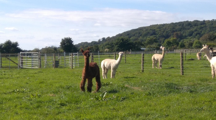
I’ve since leant that this area is the North Somerset Levels rather than the Somerset Levels proper (which I would see the next day). In any case, the landscape was the same – completely flat reclaimed land, with drainage channels and pumping stations, mostly inhabited by large animals from cows to horses to llamas.

I thought these were Somerset Llamas but I’ve since been informed they are Alpaca

Paths were not well used, so I used roads more often. Stopped at Yatton for a drink, then along “Strawberry Line” disused railway. Finally back onto hills, and found forest on an old quarry to set up camp in.

Distance: 24.4 miles [view on map]


Bristol Channel (16th September 2016)

Once more over the border to Wales before crossing the Severn Estuary – a river I’d crossed about a week before in Shropshire.

Friday 16th September 2016

Finished Offa’s Dyke trail – mostly woodland, then lunch (a tasty pie) in Chepstow. Next crossed Severn Bridge by the motorway. Walked over flat farmland before reaching outskirts of Bristol. Slept in parkland near Henbury, in woodland. I managed to find a spot about 100 meters from any building, and wasn’t disturbed.

Distance: 24.5 miles [view on map]

This was the most urban wild camping of my journey! I was surrounded by Bristol suburbs.

Rest day 5 – St Briavels (15th September 2016)

A trend was emerging. When I found myself staying in some grand old country house or castle that had become a youth hostel, I’d stay a second night. St Briavels castle was no exception. Like King John before me, I decided this was a worthy residence, though I would not be using it as a hunting lodge.

Thursday 15th September 2016

Stayed at St Briavels, read, and went for pub lunch. Tried YHA supper club, had dinner with a LEJOG (Land’s End to John o’Groats) cyclist and a YHA HQ new recruit. Washed sleeping bag for first time!

Distance: a few hundred meters to the pub and back!

The supper club offered at some YHA hostels is their best evening offering, at least when other people show up. They serve masses of food and everyone eats together.

St Briavels seems very popular with LEJOG cyclists. I met two during my stay there.

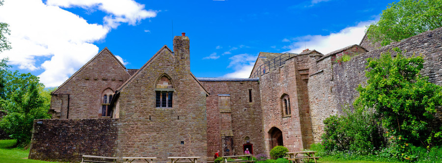
St Briavels Castle courtyard. Image attribution: Thomas Tolkien, CC BY 2.0

Wild boar (14th September 2016)

After recovering from yesterday’s storm, I continued south along the Offa’s Dyke path.

Wednesday 14th September 2016

Walked over farmland and past small villages. Brief look around White Castle, a large one. Walked through a Bulmers Cider orchard – the apples weren’t great!

Somewhere along this route I met a couple of familiar faces – two blokes I had passed just before the storm the previous day. They told me they had been just far enough along the ridge that they escaped the worst of the storm. They were on holiday doing day walks in the area, and like many hikers, tended to walk north whereas I was walking south. So we ended up passing on three days, every time walking in opposite directions!

Stopped at Monmouth for a bar curry, then walked along Wye river down to St Briavels.

As I entered forest by a village, I saw a couple of creatures jump into a bush. At first I thought they were dogs, then the burp-like sound registered – wild boar! They were only small, probably not fully grown (or microboar). Arrived at St Briavels Castle [youth hostel] in the dark, and slept in the hanging room!

Distance: 25.6 miles [view on map]

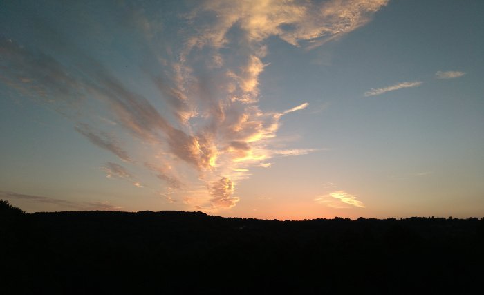
Sunset in the Wye Valley