Lightning (13th September 2016)

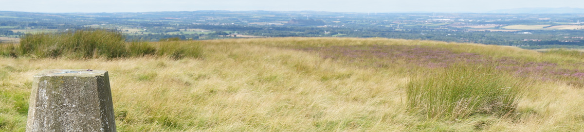
I continued to follow the Offa’s Dyke path along the ridge of the Black Mountains. These mountains are on the edge of the Brecon Beacons national park, and they form the border between England and Wales.

Tuesday 13th September 2016

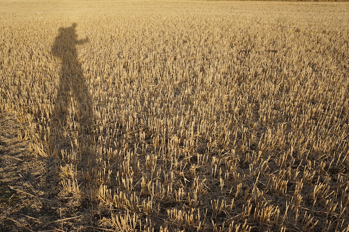
Up onto the ridge, a hot morning. Started early and walked swiftly over many peaks of the ridge.

A not-quite-naked rambler. It was a warm September!

However, with a couple of peaks remaining, I heard thunder. At first the lightning was confined to the clouds, and I came off ridge-top path to follow slightly lower sheep paths. I then saw lighting strike the ridge  ahead (not even on a peak) so decided to get off hill entirely.

This was very scary, as the lightning hit where I had been planning to rejoin the path! It was raining heavily too, so I was uncomfortably wet, but my only real concern was the lightning.

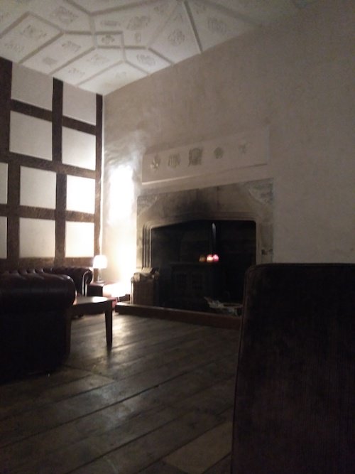
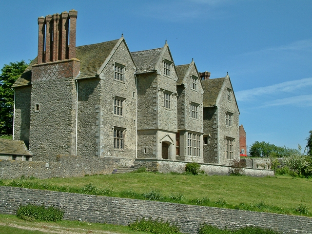
Made way down steep sides until I hit a path. Followed road to Pandy Inn, had lunch and arranged to stay in bunkhouse.

Distance: 12.6 miles [view on map]

After the storm, it was nice to have a half day off to relax and dry out.


Thank God for churches (12th September 2016)

Monday 12th September 2016

Set off a bit late from Kington. Good walking over Haywood Common with ponies grazing. Stopped in church at Gladestry where tea/coffee/biscuits were available. Continued on, another church in Newchurch, then over and down into Hay-on-Wye.

Picked up supplies then up towards Black Mountains as it got dark. Slept near Hay Bluff, on plateau before high ridge. Clear night.

Distance: 20.8 miles [view on map]

Bore da! Into the Welsh Hills (11th September 2016)

I left Shropshire, for a day walking in the Welsh hills along the Offa’s Dyke path, which took me back to the English side of the border by evening for a safe night’s sleep.

Sunday 11th September

Up early and walked into Knighton. Stopped at Offa’s Dyke visitor centre for coffee. Picked up supplies and left town. The Offa’s Dyke path was the most pleasant walking yet – clear, no mud, and a beautiful day. Listened to John Coltrane for even better walking!

Knighton town centre. Image attribution: S. Rae via Flickr (CC BY 2.0)

Arrived in Kington to hostel room to myself. The Spar was a shocking affair – blinding large price labels in florescent colours, and a terrible selection. Almost walked out [but had to eat something].

Distance: 21.7 miles [view on map]

Craven’ a little class (10th September 2016)

After a relaxing rest day at Wilderhope Manor, it was time to continue on towards the Welsh border.

Life finds a way

Saturday 10th September 2016

Continued walk along Wenlock Edge, then through fields into [the town of] Craven Arms – a  dump, yet businesses pretend otherwise with “high class” butchers and hairdressers offering “a touch of class”. Ate at Subway and picked up a few things from strange (Welsh?) supermarket “Tuffins“. Passed Stokesay Castle, which was nice.

Stokesay Castle

Passed a gang of cattle into Hopton Titterhill forestry, and set up camp on a little used forestry track. This was nice and sheltered, yet I could see the stars.

Distance: 20.0 miles [view on map]

For some reason I decided to take a lot of photos that day…

… of the Shropshire countryside …
… of crops …
… of me …
… of my shadow …
… and of the locals.

Rest day 4 – Wilderhope Manor (9th September 2016)

Relishing in my new Elizabethan aristocratic lifestyle at Wilderhope Manor (youth hostel) in Shropshire near Wenlock Edge, I decided it was the ideal location to take another day off…

Friday 9th September 2016

Decided to stay at Wilderhope to read and relax. Read some of Wuthering Heights. Downloaded 3 episodes of Ripper Street [to watch on my phone and remind me of London]. In evening, played Scrabble with a Shropshire couple (who married at the hostel a year ago) and a Dutchman, who luckily scored a little lower than I did.

Distance: none!

Cozy fireplace at Wilderhope Manor


Wenlock Edge (8th September 2016)

From “the birthplace of industry” I continued on into the delightful Shropshire countryside.

Thursday 8th September 2016

Walked into Ironbridge centre, bought Wuthering Heights in second hand bookshop, inspired by walking through Brontë country a few days prior. The sun shined, so I took my time, and set off towards [the town of] Much Wenlock.

A nice historic little town, but let down by the automated public toilets, which really did not suit the character of the town and were not well maintained (I don’t remember specifically what was wrong but there is almost always a problem with these machines, perhaps missing soap, or worse the soap is full but the tap doesn’t work). Even when these machines are in working order, it is so frustrating to be taken through a strict hand washing process of soap, water, dryer, then to find the water and dryer don’t run long enough so the whole process has to be repeated two more times to wash the soap off and get dry. Rant over.

Checked out the church and picked up supplies, then started along Wenlock Edge. Passed Major’s Leap, a haunted viewpoint, and had lunch.

The story goes that a Major on horseback during the English civil war was fleeing from Cromwell’s troops and found himself on Wenlock Edge. Rather than surrender, he (and horse) leapt off the edge. He survived because his fall was broken by an apple tree, however his horse died in the fall and now haunts this viewpoint.

Arrived at Wilderhope Manor – fantastic old Elizabethan house. Cooked dinner then relaxed in candlelit lounge.

I was not visiting aristocratic friends. Wilderhope Manor is now a youth hostel – I was staying there for a tenner!

Distance: 14.8 miles [view on map]

Wilderhope Manor. Photo © Graham Taylor (cc-by-sa/2.0)

Birthplace of Industry (7th September 2016)

This was the third and final day of walking mostly over farmland in Staffordshire.

Wednesday 7th September 2016

Packed up at dawn and chatted to farmer, who asked if I had been camping and promptly forgot this question once I told him where I was going! Stopped at pub by busy A-road at Tong (after a visit to the church).

By now I was out of Staffordshire and into Shropshire. The scenery was already improving.

Shropshire farmland

Continued on through more farmland, then across gold course and wood into Ironbridge Coalport [YHA hostel]. Nice friendly woman on reception guessed my route just from the size of my backpack. Went to Shakespeare pub for a tasty Vegetable Wellington.

Distance: 18.9 miles [view on map]

Ironbridge is just south of the large town of Telford. It is known as “the birthplace of industry” and many of the surviving buildings date from the industrial revolution, including the famous Iron Bridge across the river Severn. Most of the buildings are now museums, which I may go back to visit someday.

Blackberries (6th September 2016)

Tuesday 6th September 2016

Started with a trespass through Bagot Forest. Many raised platforms – used for shooting? One local clearly fed up of no-access signs (graffitied over them).

I didn’t intend to trespass, but the Ordinance Survey map showed the forest as Forestry Commission open access land – apparently a mistake. I had plotted a route through Bagot Forest the day before. By the time I discovered it was not open access, the only other option was the busy and dangerous road next to it.

Platform in Bagot Forest

Skipped parts of guidebook route taking more direct route on roads and footpaths. Stopped at canal side cafe near Great Haywood. Next the highlight of the day – Cannock Chase. There I walked by a stream through heather, and picked blackberries. Stopped at Co-op in Penkridge, then walked out of town and camped on edge of a crop field.

Distance: 22.5 miles

Makeshift signpost on the Staffordshire Way

Staffordshire (5th September 2016)

After the spectacular Peak District, I was entering perhaps the least spectacular section of my journey – the county of Staffordshire. I was heading for the Welsh border, where there would be good walking along the Offa’s Dyke Path. Staffordshire was the best of a few bad options – the worst being Birmingham! To be fair to Staffordshire, there are some nice bits – but I wouldn’t see those until the next day.

Monday 5th September 2016

Lots of farmland. Sometimes tricky to follow with 1:50k scale maps as field boundaries not shown. Lunch from shop in Rocester. Dinner at Costa in Tesco at Uttoxeter.

Tesco supermarket, Uttoxeter. Photo © Eirian Evans (cc-by-sa/2.0)

I was aiming for Bagot Forest, but switched to road walking as route finding getting tricky in the dark. When I got there, found there was no public access [to forest]. At this stage it was completely dark, I had no other option so squeezed through the fence and set up camp.

Distance: 21.3 miles [view on map]

A message I found in a church. It had a particularly literally meaning for me as I do not intend to do this walk again!

Leaving the Peak District (4th September 2016)

My third and final day of walking in the Peak District, and my third Peak District YHA. The Peak District has a lot of YHA hostels, perhaps not coincidentally because they are headquartered on the edge of it in Matlock.

Sunday 4th September 2016

Had snorers in the bunk room [at Youlgrave YHA] so not the best night’s sleep. YHA breakfast again – starting to get a bit bored of it! Started walking over farm land (rather muddy), also some nicer stretches along disused railway lines. Lunch at pub – busy because people in for Sunday lunch. I had a cheese and onion pie with chips, gravy, veg. Onwards along more old railway then walked along Dove Dale, a nice touristy stretch with rocky outcrops.

Dove Dale. Photo © Row17 (cc-by-sa/2.0)

Stayed in Ilam Hall where a YHA hostel is hidden away inside.

Distance: 17.5 miles [view on map]

Ilam Hall was the nicest hostel I had stayed at on the journey so far. It was hard to spot, since there are no signs on the outside of the building, but hidden away inside was a fully equipped and very modern hostel. In term time the hostel is typically booked out by schools. I was lucky to have passed by in the school summer holiday period – had I passed by a day or two later I would not have been able to stay.

The hostel was fairly quiet, so much so that I had the whole male dorm room to myself. I survived the evening by chatting to a young lady on reception. We made small talk about the workings of YHA hostels – I must have been boring her, because she then pulled out a couple of hula hoops, jumped over the desk and gave me a hula hoop lesson. I had a go but she ran rings around me – I decided I should stick to walking!

You’d never know that Ilam Hall contains a large modern youth hostel. Photo © Hall Family (cc-by-sa/2.0)